Author: Steven Velozo, CTO, HeadLight
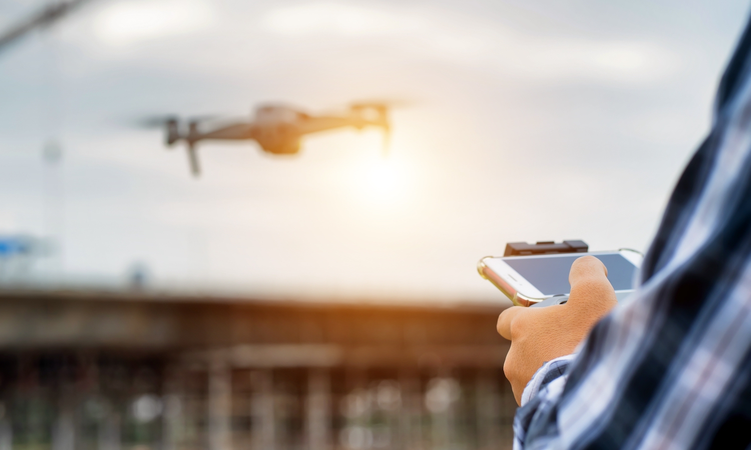
When I was a kid, I enjoyed the popular culture vision of the future: Hoverboards, flying cars, and even virtual reality would be part of our daily lives. While these ideas were no doubt grander in our minds, if we are to believe the press releases: some of us will be getting everything from prescriptions to pizzas via drone delivery in the near future.
Drones are also being used by DOTs and CEI firms: Their application for infrastructure inspections—bridges and elsewhere—means that drones are not only saving teams time and money, but also helping humans collect data from dangerous or hard to reach sites. Compared to traditional inspection methods, drones not only provide a greater amount of data, but richer data as well.
Additionally, the U.S. Department of Transportation examined the increased usage of drones for bridge inspections in their brief, “Use of Small Unmanned Aerial Systems for Bridge Inspections.” In a 2018 survey conducted by the American Association of State Highway and Transportation Officials (AASHTO), 79 percent of the 44 reporting state departments of transportation (DOTs) responded that they had experience deploying UAS.
Given so many are already using drones in some fashion to conduct inspections, the next question is: How are people making the most of all this new data?
Getting a drone into the air, flying it around, having it take photos, and downloading the data requires a large amount of work. However, the work doesn’t stop once the images and other data is on the computer. Producing usable imagery requires more data filing, manipulation, and use of third party processing tools. Without rigorous standard practices across operators, a growing body of drone media rapidly becomes unmanageable.
As we work to equip teams with the best technology to manage drone data, we’ve developed the following five core concepts. We’re actively testing these out as potential features for a fully-fledged product that will make field inspection data simpler to store, manage, and access.
1) Automatic uploading and categorization
We want to simplify the post-flight process —particularly for use cases like bridge inspection where there may be multiple flights at multiple locations on the same day. Instead of hand sorting and managing files, our vision is that users can simply upload the data. After the initial upload, all data is automatically uploaded, sorted, and processed.
2) Organization of data by flight
Once imagery is uploaded to the platform, a set of heuristics and machine learning algorithms sort the files into separate flights. Camera and drone telemetry data then filters the files by Oblique, Nadir, and Manual Shot modes for automatic processing.
3) Improved accuracy
After imagery is automatically processed by the rudimentary machine vision models, custom models run against the large high resolution GEOTIF files. This ensures counts of assets (e.g. arrows on the roadway) are accurate—even if there are multiple photos of the same asset in the same flight.
4) Guiding engineers with hints and highlighting areas
Our computer vision models can help find and measure cracking, spalling and other types of potential damage. Using detection models, we can find and measure cracks. Rather than performing inspections automatically, inspectors can rely on these models to steer them towards areas of interest.
5) Integrating many sources of data
We’ve integrated our drone visualization tools directly into the HeadLight Image and Data platform. This gives us the ability to see images from any inspector who has an iPad, projected in 3 dimensions.
Want to see examples of this work in action? Watch the webinar on-demand, “Innovating with Drone Bridge Inspections Data,” to learn more about how we are helping DOTs, CEIs, and contractors intake and derive insights from the rich data gathered by unmanned aerial systems.